Originally published June 2010:
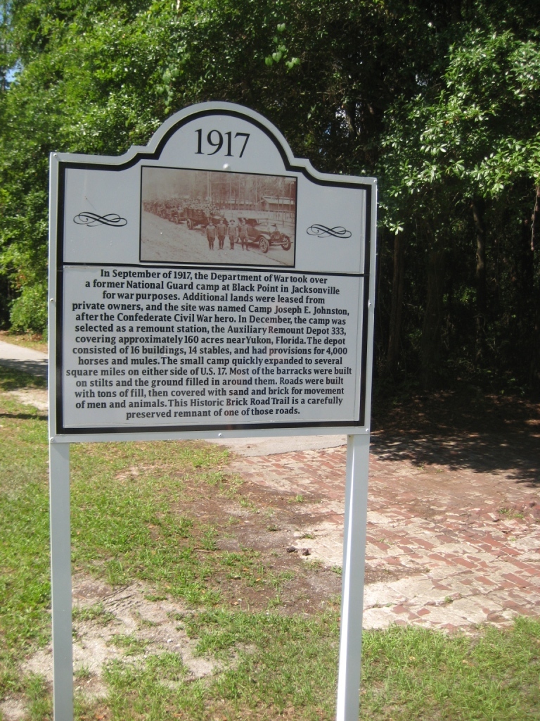
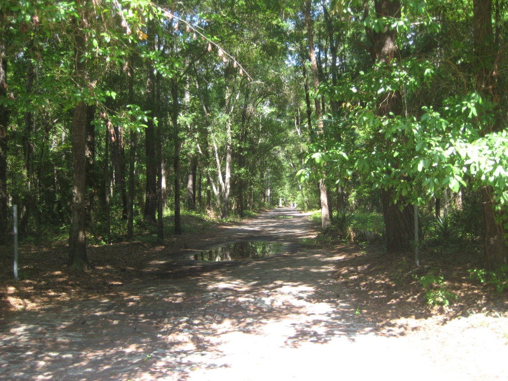
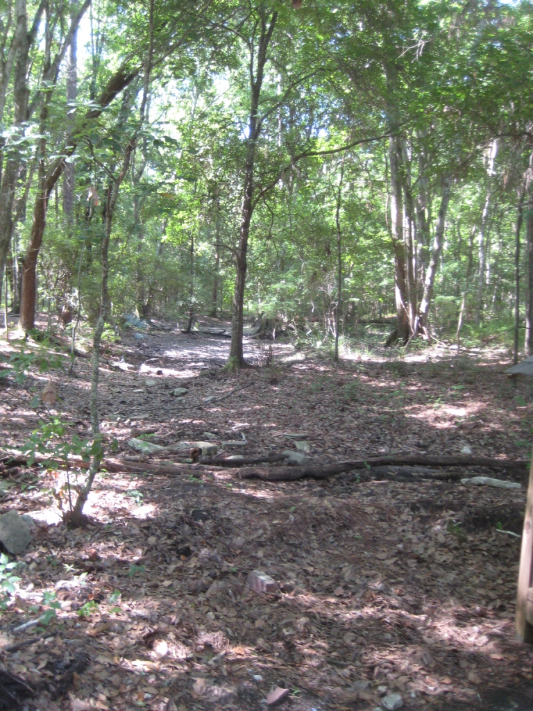
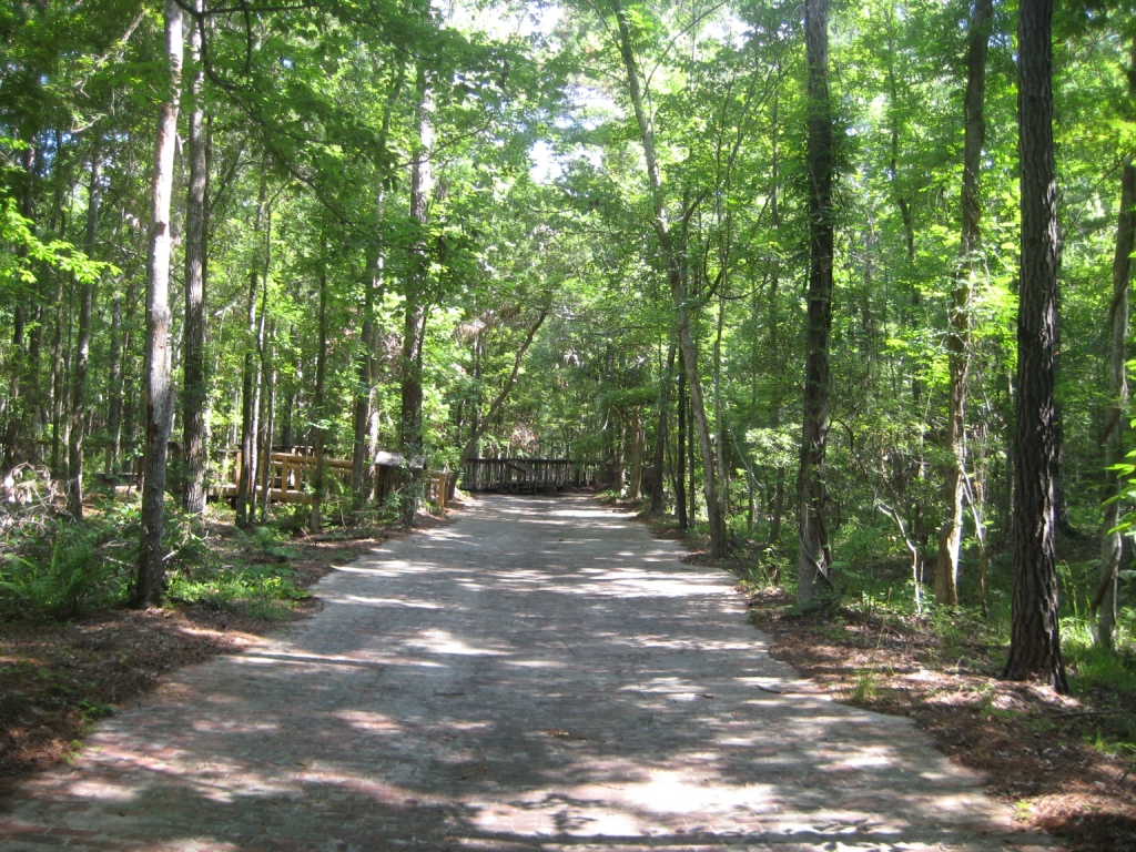
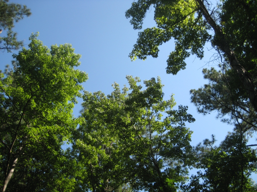
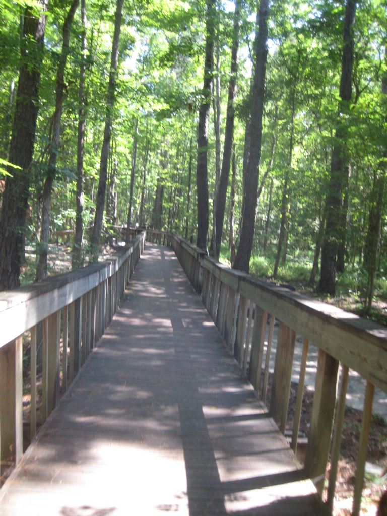
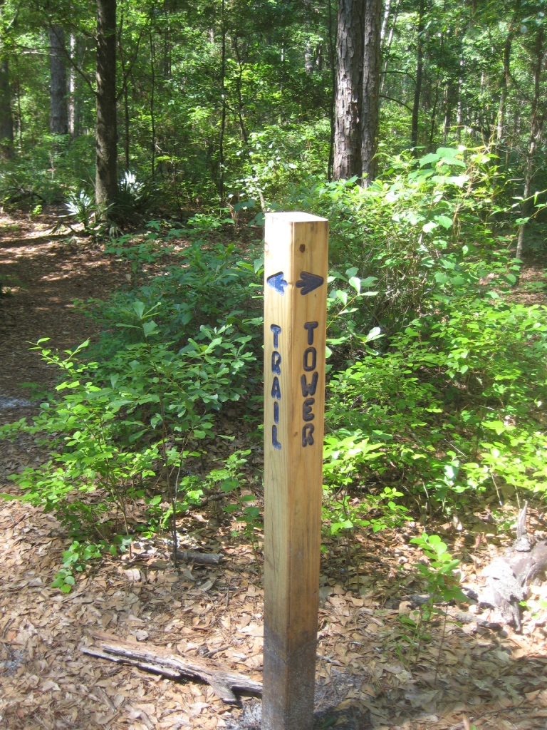
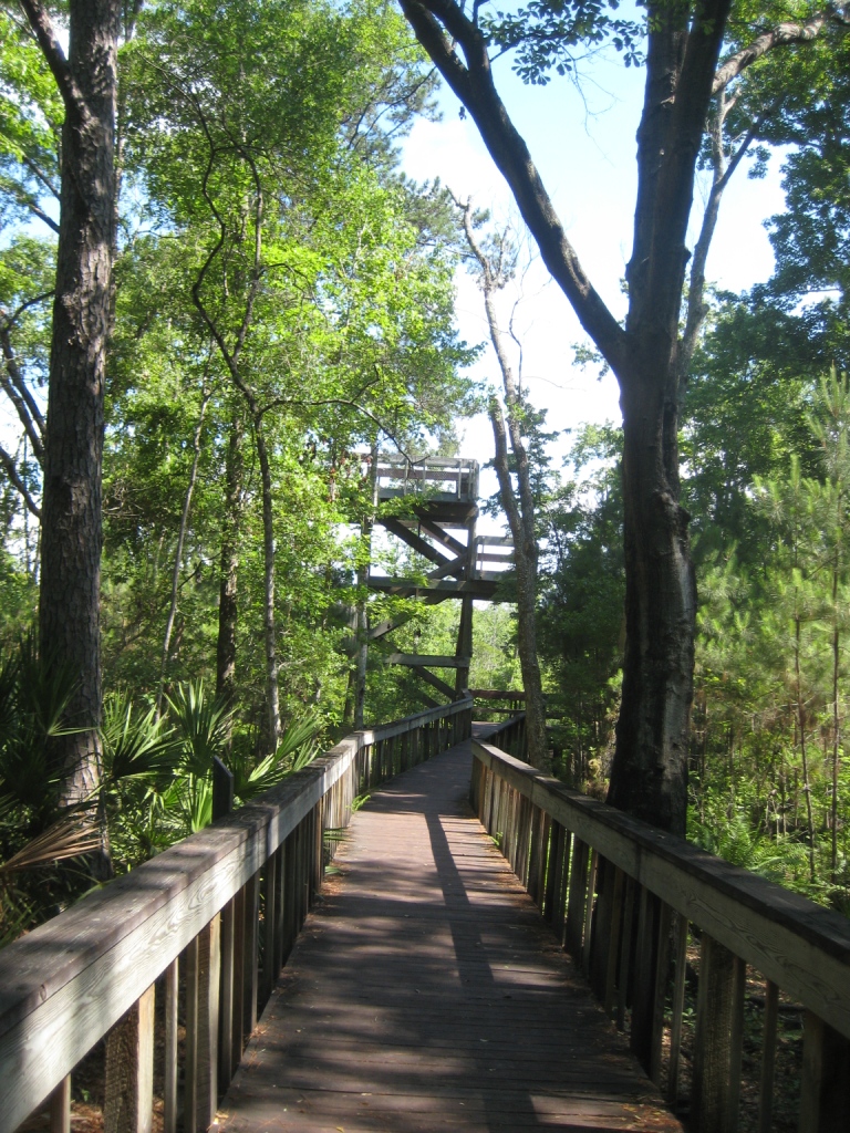
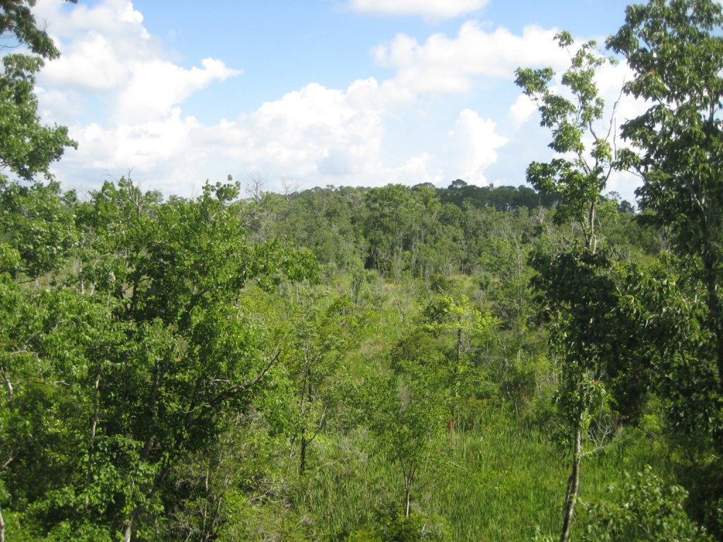
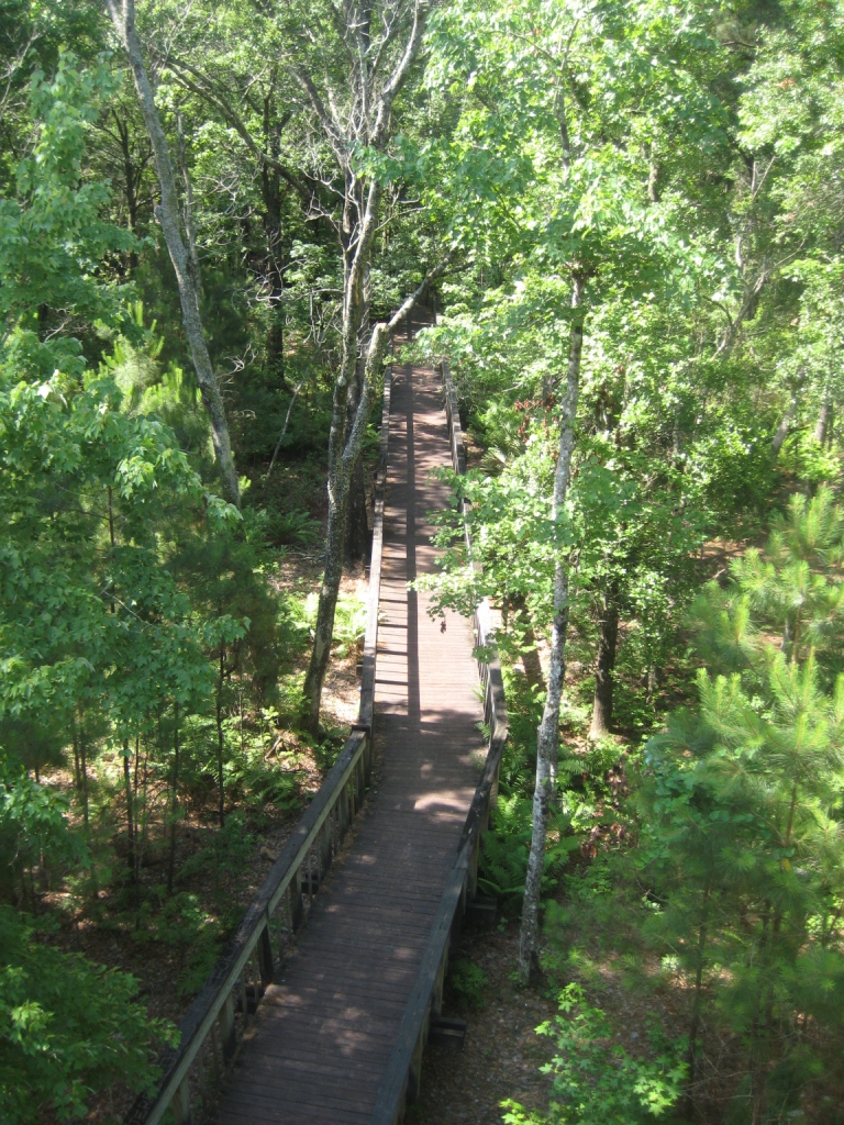
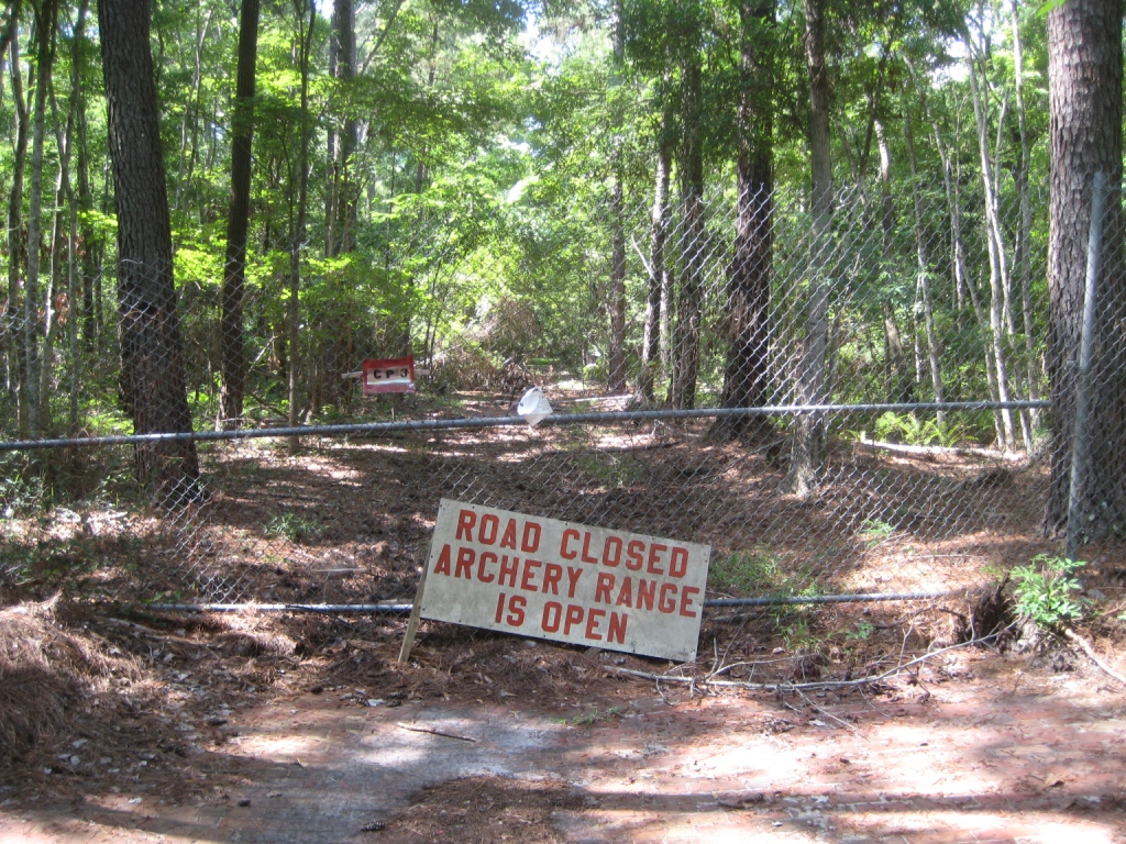
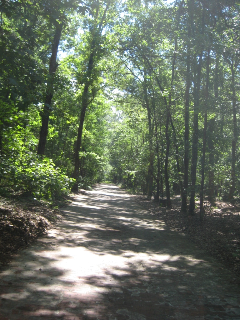
What better way to spend a day off of work than with time on the trail? This week we decided to check out the trails at Tillie K Fowler Regional Park, which I mentioned last week. The entrance is south of the park, off of US-17, across from one of the main gates to NAS. After a long and winding entrance road, you head past the play ground to the clearly marked trail head. The Brick Trail is actually a brick road from what was formerly the town of Yukon. Peering into the woods, you may actually make out some of the remnants of the local roads and landmarks. The trail is easy – flat and straight, with the occasional weathered holes in the brick. After about a quarter mile, a raised walkway intersects the trails and begins a large loop towards the Ortega River. While never actually visible from the trail, the opposite side of the loop leads off to a tower that’s been built over the swampy shore of the Ortega. I didn’t find that it afforded any particular view of the surrounding area, but it was a nice perspective from about 30′ up into the forest canopy. Continuing on the loop, the trail crosses from thinly grown forest. Perhaps it was because it was Memorial Day, but we never noticed any overhead noise or interference from the flight path of the local base. The brick road dead-ends at the neighboring archery range, wisely fenced for the sake of park-goers who would rather remain un-punctured. The loops turns back and forks back to the trail head and the nature center at the far end of the park.