Originally published January 2011:
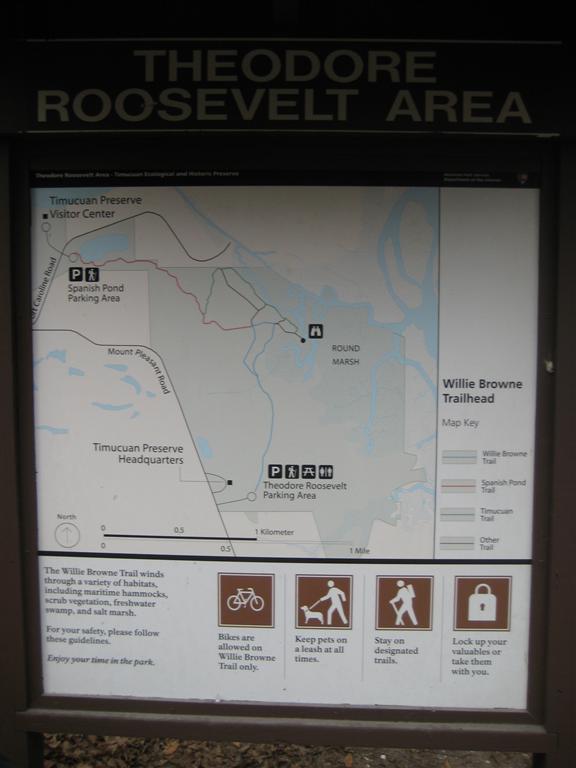
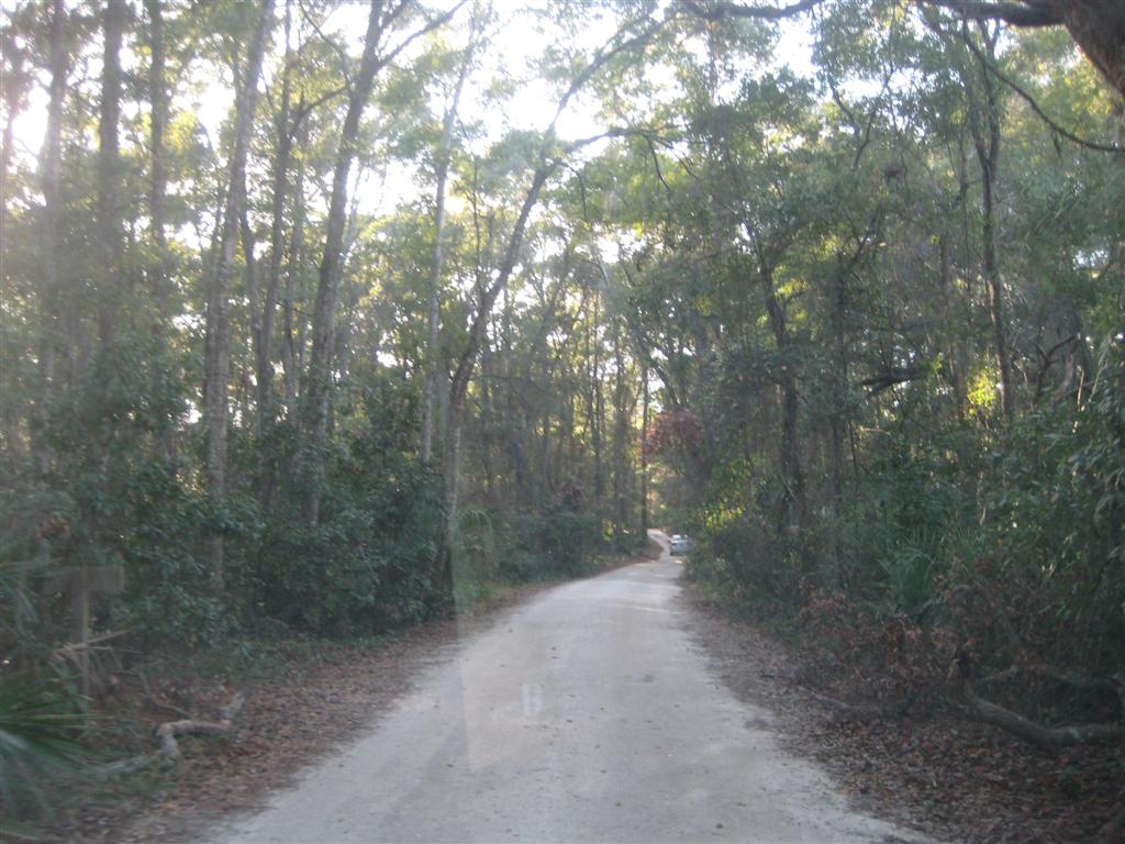
On a windy, chilly day, we finally had the opportunity to take a look at the Theodore Roosevelt Hiking Area – the former homestead of William Browne. Located off of Mt. Pleasant Rd, the entrance was well marked but still somewhat difficult to find – it’s a a one lane dirt road that leads to the parking lot at the trail head. This is the south entrance to the park, where the Willie Browne trail begins and heads north to the former site of his cabin. The trail was fairly busy this Sunday, and despite the temperature, it seemed that quite a few other people that the same idea to be on the trail this day.
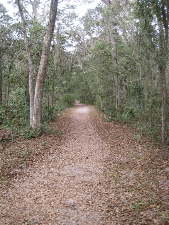
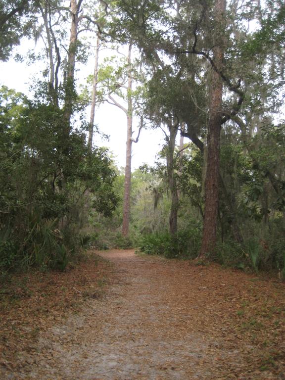
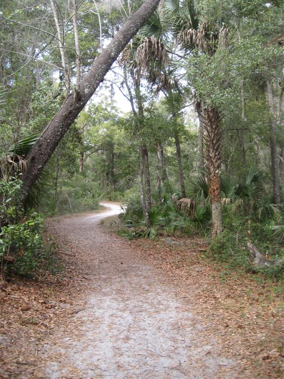
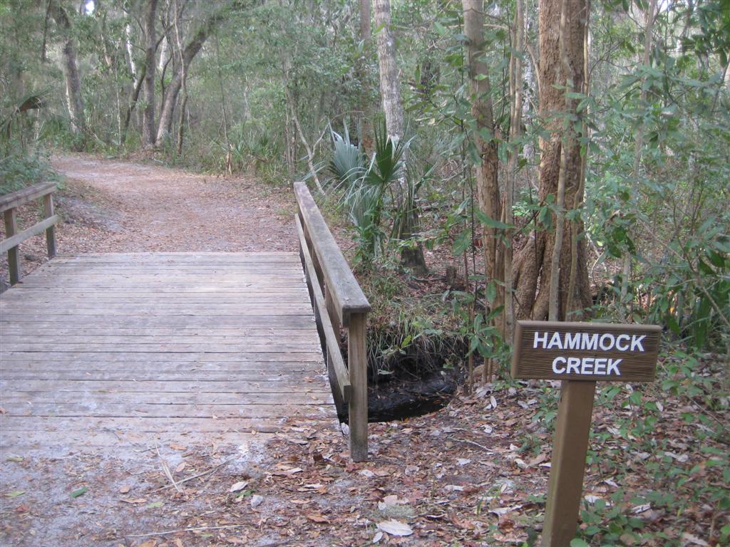
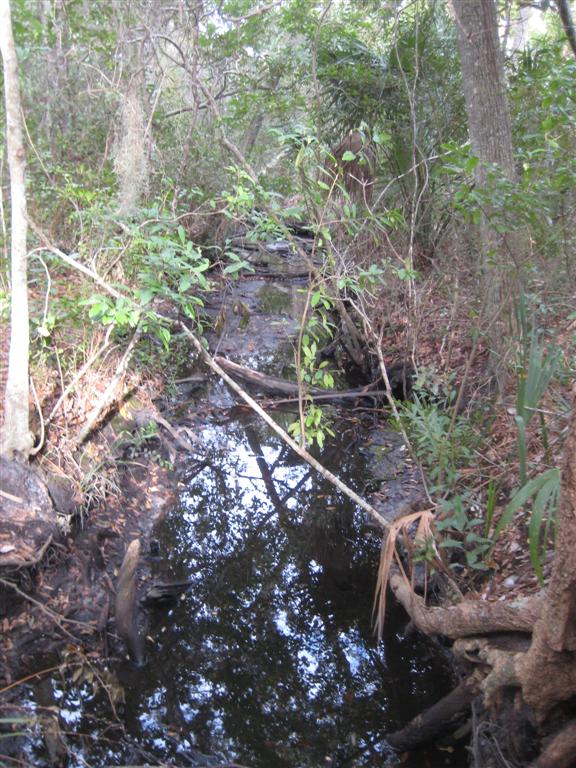
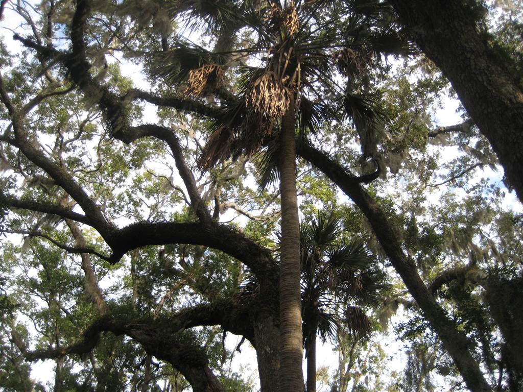
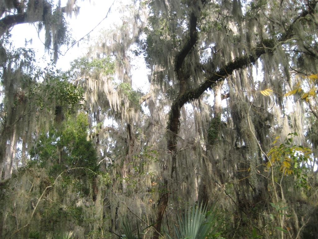
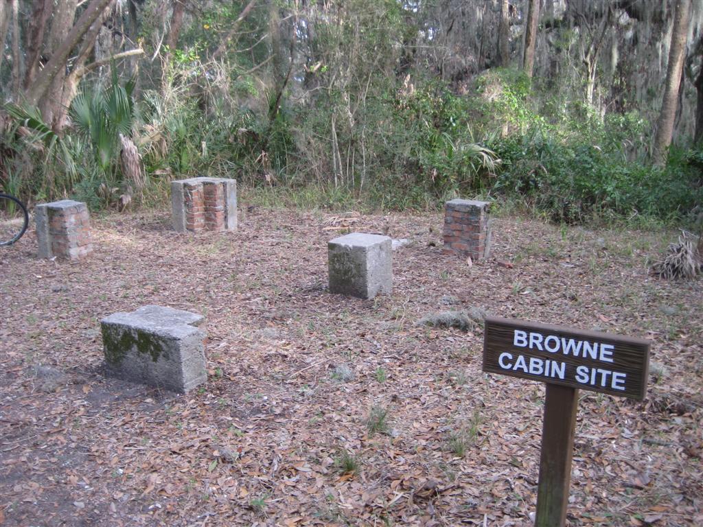
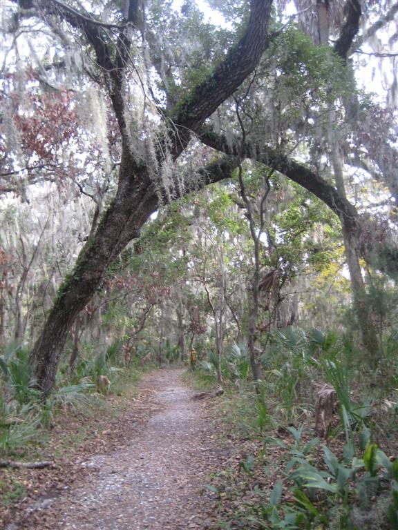
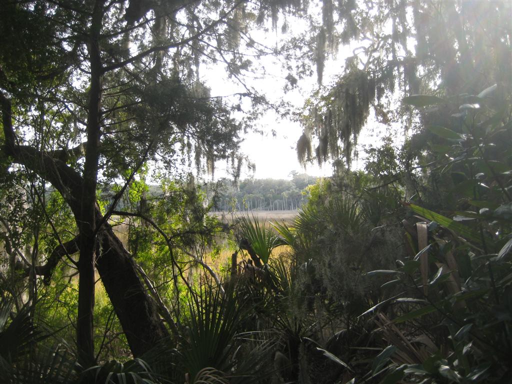
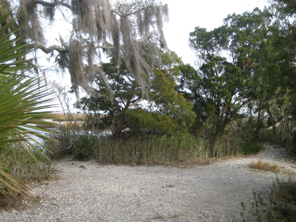
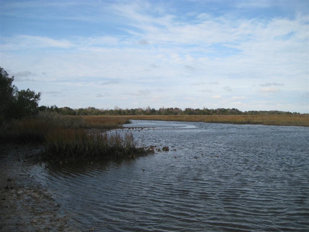
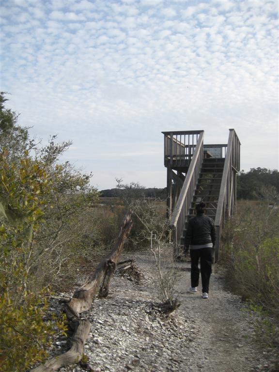
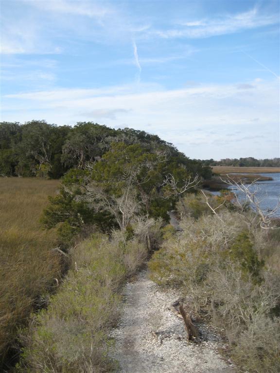
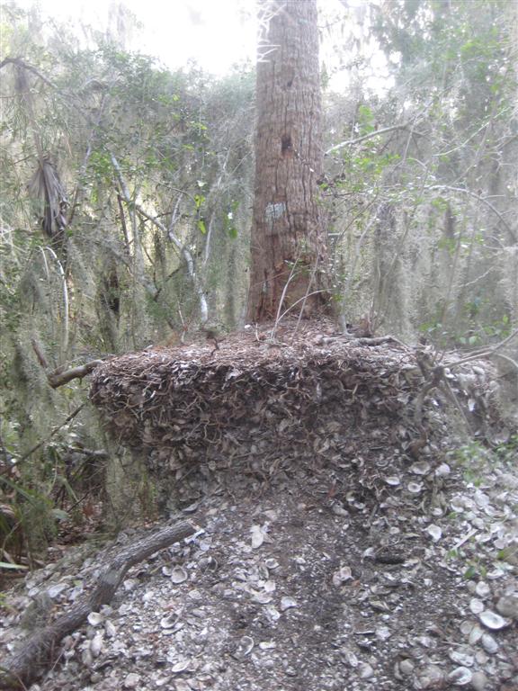
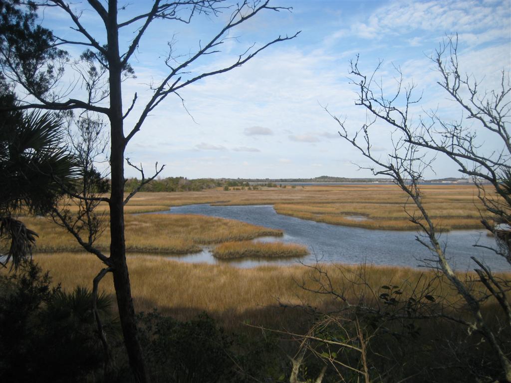
The trail leaves the parking lot by means of a level, easy path and into the hammock. The surrounding woods are thick with palm trees and oaks filled with Spanish moss. As the trail nears the old homestead, there’s a noticeable incline to the walk. Willie Brown’s home was on the highest bluff in the area. At this site remains the foundation of his cabin. It was apparently a very simple home, perhaps just one or two rooms – and given the reputation that Willie Brown had for leading a spartan life, not surprising. The trail forks here, and to the right descends towards the marsh. The mounds of oyster shells are more prominent here, and wind-swept trees grow shorter as the marsh nears. The trail hugs the edge of the marsh until it reaches a small spit of land that reaches out into the marsh. At the end is a viewing platform that offers a decent view of Chocopit Bay and a the local wildlife. Despite the fact it was low tide, the surrounding area seemed to be relatively clean and unpolluted, save for the occasional tire hidden in the mud. Past Colorinda Creek and the St. John’s, the shipyards off of Heckscher Dr are visible in the distance.
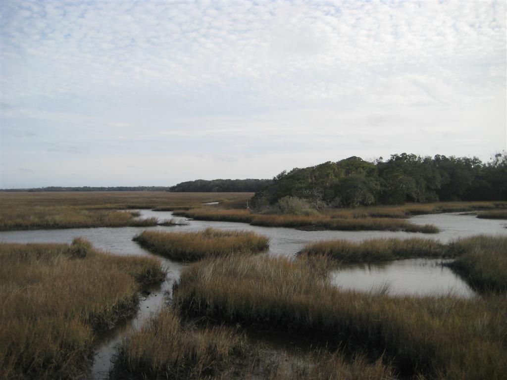
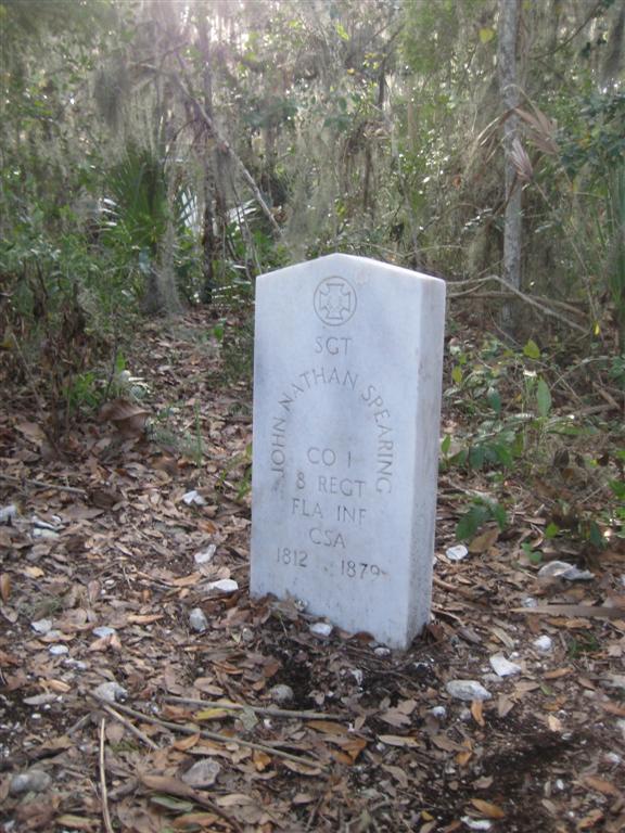
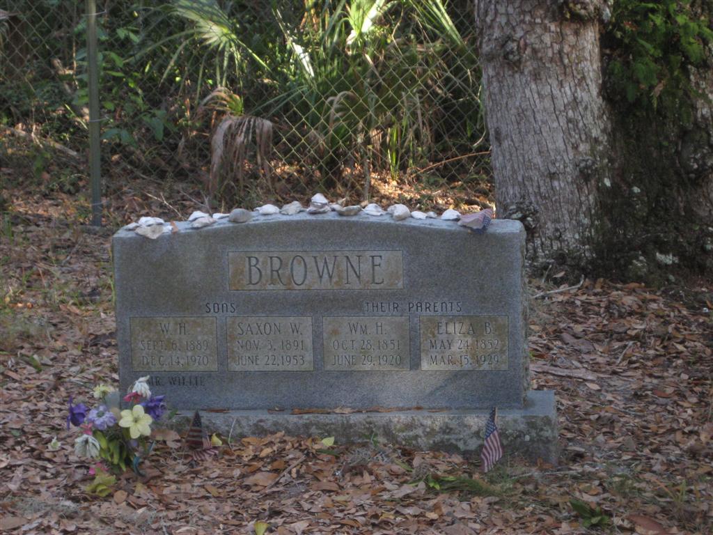
Continuing on along the edge of the marsh, the trail begins to ascend again across a bluff that offers a better perspective of the marsh through the trees. Just as the trail turns back toward the cabin site, a tombstone lies next to it, at a spot that may have overlooked the marsh long ago. This is the burial site of John Nathan Spearing, CSA. See the photos for a better look. The trail climbs back of the hill, past the cabin site, and before looping back toward the parking lot, passes the burial plot where Willie and his family are buried. The graves are fenced off, and it appears that a few friends of Willie’s are buried here too. After completing the loop from the parking lot to the marsh and back, we must have only traveled about 2 miles. Given more time, there are other trails in the middle of the park that we would have explored – so we’ll definitely have to return for the rest of them. Our first impression was a good one – this is a quiet, scenic place that has laid relatively unchanged for the last 40 years. Soon, we’ll discuss the northern end of the park, at the Spanish Pond entrance across from Fort Caroline, and the Ribault Column.