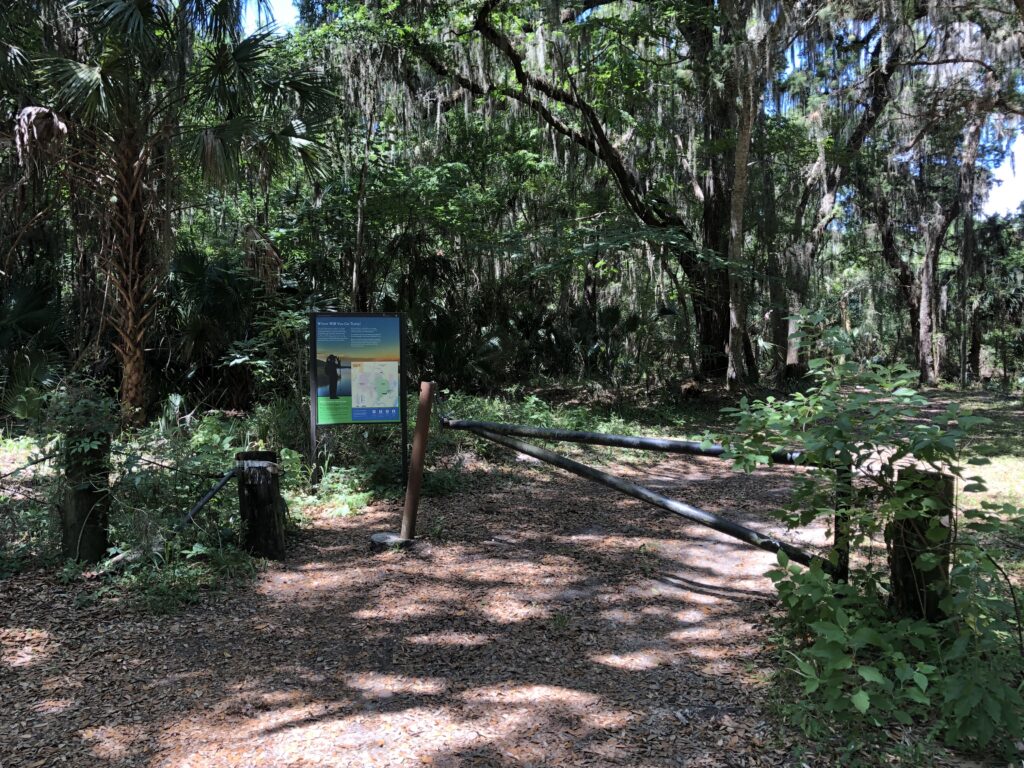
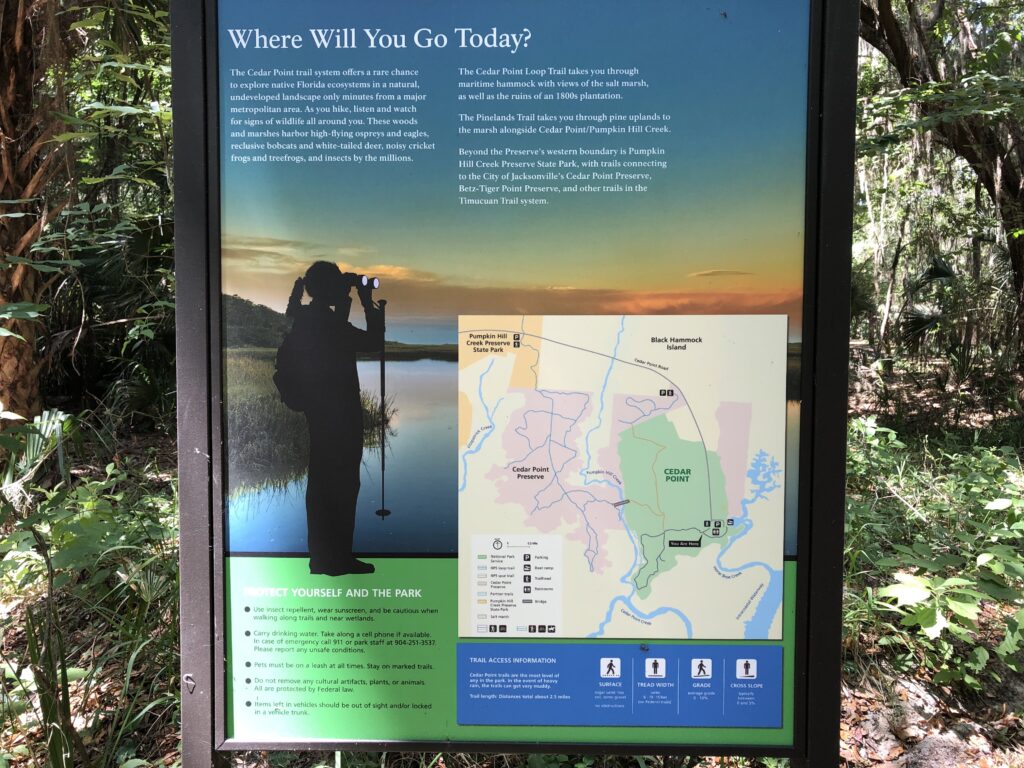
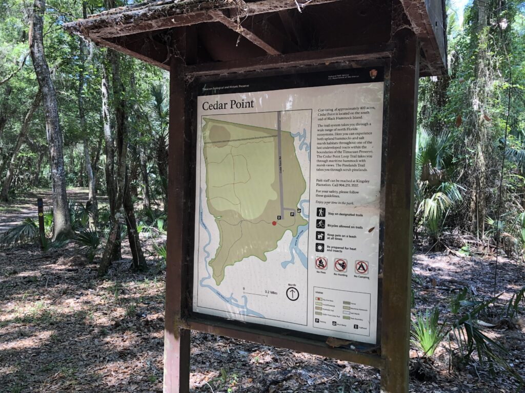
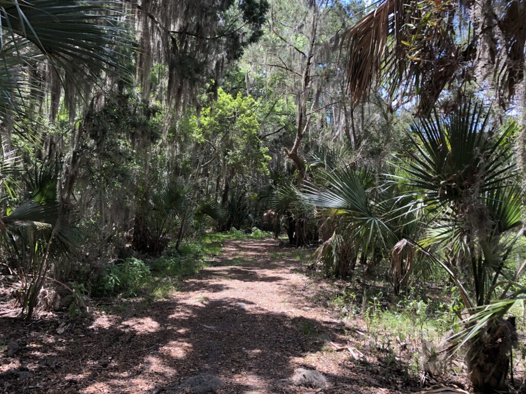
At the southern tip of Black Hammock Island, Cedar Point is the only part of the new 7 Creeks Recreation Area that is a part of the National Park Service. The entrance to the hiking area lies at the very end of Cedar Point Rd, just beyond the boat ramp area that is accessed to the left just before the end. Not be confused with the Cedar Point Preserve, which is adjacent, this relatively small area contains 2 hiking loops. We only had time for the Cedar Point Loop Trail, that wanders to the southernmost point of the park along the marsh for about a mile or so. Distances and points of interest are not clearly labelled on the signage. Find the official trail map here.
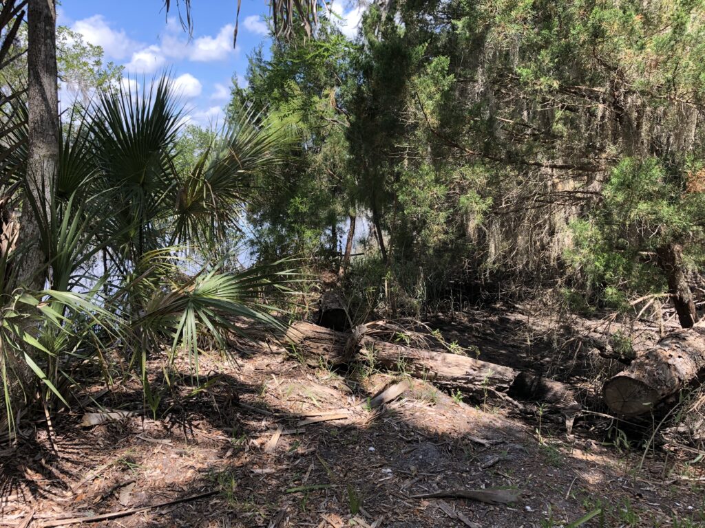
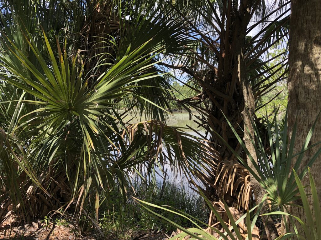
Somewhere within the boundaries of this park are the remains of an old Spanish mission and a plantation. We were unable to locate them during our brief visit, but perhaps we’ll need to come back to explore further. The National Park service indicates that the remains of the plantation are somewhere along the trail. Even on a holiday, this park was very quiet – there just a handful of cars in the parking lots and we only encounter a couple of other people. Bring bug-spray – as with any trail next to a tidal environment, left over puddles breed lots of stinging insects. The forest is very thick here, with a few opportunities to peek through the palms across the marsh. It’s a quiet park, and no doubt contains many hidden archeological artifacts, but we didn’t find much to see.